Today our Florida Building & Land Surveying team completed a Boundary and Topographic Land Survey for a new home addition project located in the beautiful Aero Acres Community of Port St. Lucie, Florida. What made this survey unique was not just the complexity of the property—but the way we arrived.
Our President and Director of Engineering, Roger Morales, MS Eng, and FAA Commercial Pilot, flew our company aircraft, a Mooney M20J, from North Perry Airport (HWO) directly to FD88 — Aero Acres’ private community airport in Port St. Lucie. The flight was smooth, and the day couldn’t have been better for both flying and surveying.
“I love when I get to combine my passion for flying and surveying at the same time,” said Roger Morales.
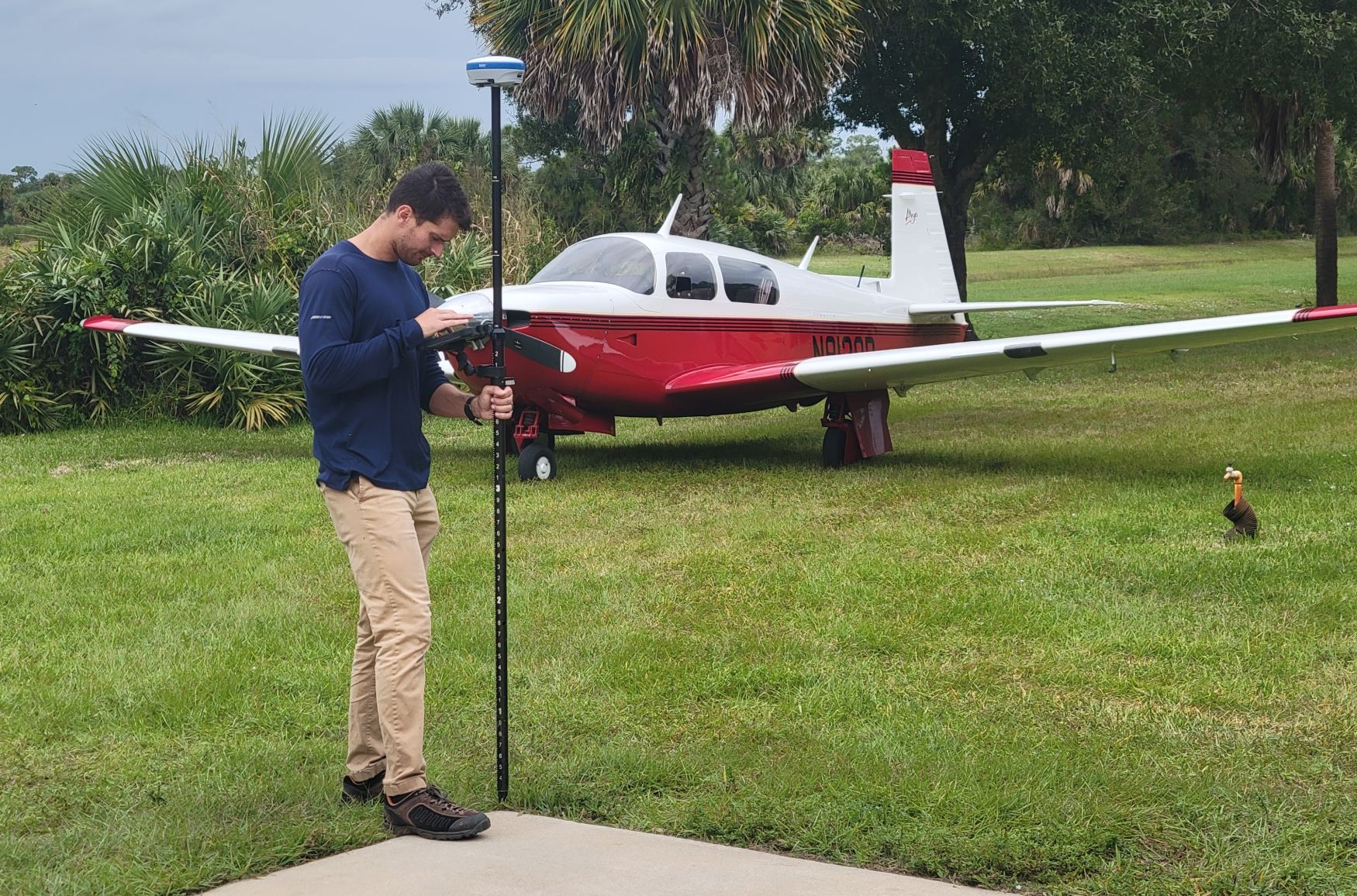
Upon arrival, our field crew led by Rick Morales, PSM and Vice President, began the task of collecting high-accuracy GPS control points and elevation data for the upcoming home addition project. The team spent several hours performing boundary verification, elevation benchmarking, and topographic mapping around the residential property.
“The property we were surveying was a challenging one because it was not only large and oddly dimensioned, it was adjacent to a 3,200-foot runway with grass taxiways,” said PSM Rick Morales.
This type of detailed survey work ensures that the new construction addition will be properly aligned, compliant with local codes, and safely distanced from active airstrip areas — critical considerations in aviation-based residential communities like Aero Acres.
🛰️ Precision Meets Passion: Land Surveying by Air Across Florida
At Florida Building & Land Surveying, we pride ourselves on bringing precision, technology, and efficiency to every project. With our own airplane and FAA-licensed pilot, we can fly anywhere in the State of Florida to perform Boundary Surveys, Topographic Surveys, Elevation Certificates, ALTA Surveys, FEMA Flood Certifications, and Engineering Inspections.
From Miami-Dade to Broward, Palm Beach, Martin, St. Lucie, Indian River, and all the way to the Florida Keys and the Panhandle, our aerial-capable team ensures that your land surveying or inspection project gets the attention and speed it deserves—no matter how remote.
Whether your project involves a new construction, property subdivision, home addition, site plan, FEMA elevation certification, or engineering inspection, our team has the tools, technology, and statewide reach to deliver results efficiently and accurately.
📞 Schedule Your Next Survey or Inspection
If you need Land Surveying, Engineering, or Inspection services anywhere in Florida, our aircraft allows us to reach your project site quickly and cost-effectively.
📍 Florida Building & Land Surveying
📞 877-894-8001
🌐 www.MyFloridaPros.com | www.InspectionsAndEngineering.com
“From the air to the ground — we bring precision everywhere we land.”