Florida Building & Land Surveying Launches Statewide Aerial Survey Services
Now Offering High-Resolution Aerial Mapping Across Florida — From the Air to the Ground
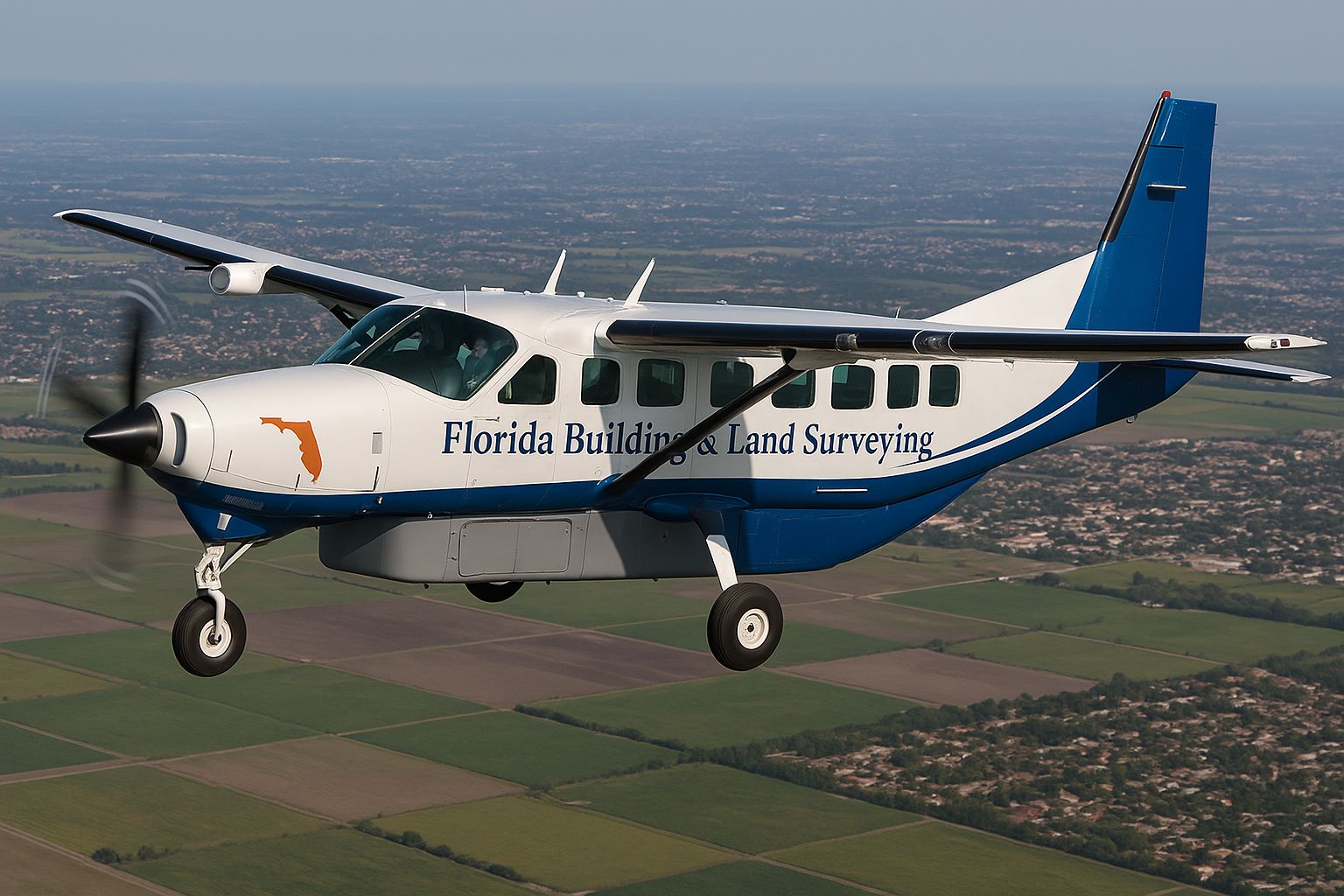
Florida Building & Land Surveying, part of the My Florida Pros Network, is proud to announce that under the leadership of Rick Morales, PSM, and FAA Commercial Pilot Roger Morales, we now provide statewide aerial surveying services using our Grand Caravan aircraft equipped for advanced aerial mapping and data collection.
Our aerial survey capabilities now extend anywhere in the state of Florida, including Miami-Dade, Broward, Palm Beach, Brevard, Orange, Osceola, Volusia, Hillsborough, Collier, Lee, Sarasota, Pinellas, Duval, Alachua, Marion, Polk, and St. Johns Counties — as well as every major city such as Miami, Fort Lauderdale, Boca Raton, West Palm Beach, Orlando, Tampa, Naples, Fort Myers, Jacksonville, St. Augustine, Sarasota, and Melbourne.
What Is an Aerial Survey?
An aerial survey is a precise geomatics method used to collect spatial data from above using aerial photography, LiDAR, or remote sensing imagery across various parts of the electromagnetic spectrum — including infrared, gamma, and ultraviolet.
This high-altitude perspective allows our surveying team to capture detailed information not visible from the ground, producing highly accurate topographic, orthophoto, and 3D mapping datasets.
To make this information useful, all collected data must be georeferenced — meaning it’s accurately tied to real-world coordinates. At Florida Building & Land Surveying, we use advanced GNSS and dynamic land surveying techniques to achieve unmatched precision for every aerial mission.
Powered by the Grand Caravan — Ready to Fly Anywhere in Florida
Our Cessna Grand Caravan aircraft is specially equipped for aerial imaging, LiDAR mapping, and remote sensing. Operated by FAA-certified Commercial Pilot Roger Morales, our aerial team can deploy quickly to any region in Florida — from the Florida Keys to the Panhandle, including:
-
South Florida: Miami, Hialeah, Fort Lauderdale, Hollywood, Pembroke Pines, Boca Raton, Delray Beach, West Palm Beach
-
Central Florida: Orlando, Kissimmee, Sanford, Clermont, Winter Garden, Lakeland, Ocala
-
East Coast: Melbourne, Palm Bay, Titusville, Cocoa Beach, Daytona Beach, St. Augustine, Jacksonville
-
West Coast: Tampa, Clearwater, St. Petersburg, Sarasota, Venice, Fort Myers, Naples
-
North Florida: Gainesville, Tallahassee, Pensacola, Panama City
Whether it’s coastal erosion mapping, infrastructure planning, land development, flood zone analysis, or large-scale construction surveys, our airborne platform and GNSS-calibrated systems deliver results faster and more accurately than traditional ground surveys alone.
The Perfect Blend: Aerial Data Meets Land Survey Accuracy
Under Rick Morales, PSM, our aerial data is seamlessly integrated with ground control points and conventional surveying methods for unmatched accuracy. This hybrid approach ensures every project meets or exceeds FEMA, FDOT, and Florida Building Department standards.
We specialize in:
-
Aerial LiDAR and Orthophoto Mapping
-
GNSS Georeferenced Surveys
-
Topographic and Volumetric Studies
-
Coastal and Environmental Monitoring
-
Floodplain and FEMA Elevation Mapping
-
Large-Scale Land Development Projects
Why Choose Florida Building & Land Surveying?
-
Statewide Coverage — We serve every county in Florida, from Monroe to Escambia.
-
FAA-Certified Flight Operations — Led by Roger Morales, Commercial Pilot.
-
Licensed Professional Surveyor & Mapper Oversight — Directed by Rick Morales, PSM.
-
Rapid Turnaround — Aerial survey data delivered efficiently and accurately.
-
Proven Expertise — Decades of experience in geomatics, engineering, and land surveying.
Contact Us
📍 Florida Building & Land Surveying
Part of the My Florida Pros Network
📞 877-894-8001
🌐 www.MyFloridaPros.com | www.FloridaLandSurveying.com
Serving Miami-Dade, Broward, Palm Beach, Brevard, Orange, Osceola, Volusia, Hillsborough, Pinellas, Collier, Lee, Sarasota, and every Florida County.